-
×
 Evolution Life Story Of A Frog
1 × ₹990.48
Evolution Life Story Of A Frog
1 × ₹990.48 -
×
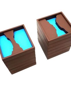
Box With Lid For Addition Board
2 × ₹1,590.48
-
×
Coloured Bead Stairs
1 × ₹2,580.95
-
×
Dynamic Cubes & Squares
1 × ₹8,219.05
-
×
Control Map - Europe Labelled
1 × ₹400.00
-
×
Opening & Closing Activity
1 × ₹895.24
-
×
Infant Imbucare Box With Rectangular Prism
1 × ₹761.90
-
×
Introduction To Decimal System Beads
1 × ₹2,504.76
-
×
Evolution Life Story Of A Hen
1 × ₹990.48
-
×
Introduction To Decimal Symbol Cards
1 × ₹361.90
-
×
Geography Land Form Trays: 3d Moulds - 6 Pairs
1 × ₹11,542.86
 Evolution Life Story Of A Frog
  Box With Lid For Addition Board
  Coloured Bead Stairs
  Dynamic Cubes & Squares
 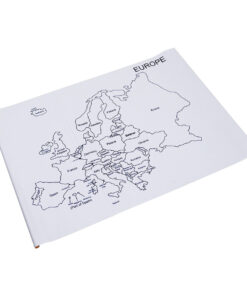 Control Map - Europe Labelled
  Opening & Closing Activity
  Infant Imbucare Box With Rectangular Prism
  Introduction To Decimal System Beads
  Evolution Life Story Of A Hen
  Introduction To Decimal Symbol Cards
 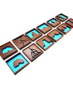 Geography Land Form Trays: 3d Moulds - 6 Pairs
 Subtotal: ₹32,428.57 (Excl.Tax.)