-
×
 Box With Lid For Subtraction Board
1 × ₹1,590.48
Box With Lid For Subtraction Board
1 × ₹1,590.48 -
×
Bead Material For Ten Board
1 × ₹1,238.10
-
×
Coloured Bead Stairs
1 × ₹2,580.95
-
×
Bead Material For Teen Board
1 × ₹590.48
-
×
Box With Sliding Lid
1 × ₹1,000.00
-
×
Discs On Horizontal Dowel
1 × ₹447.62
-
×
Addition Strip Board Incl Strip Tray
1 × ₹1,266.67
-
×
Boy Puzzle
1 × ₹409.52
-
×
Botany Cabinet Nomenclature Control Chart
1 × ₹361.90
-
×
Evolution Life Story Of A Frog
1 × ₹990.48
-
×
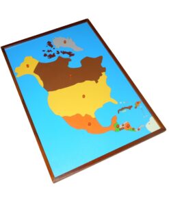
Globe (continent)
1 × ₹3,219.05
 Box With Lid For Subtraction Board
 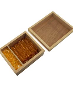 Bead Material For Ten Board
  Coloured Bead Stairs
  Bead Material For Teen Board
 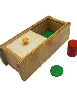 Box With Sliding Lid
  Discs On Horizontal Dowel
  Addition Strip Board Incl Strip Tray
  Boy Puzzle
 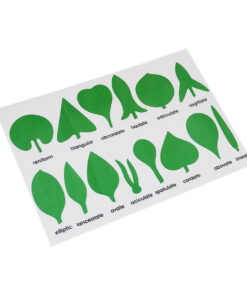 Botany Cabinet Nomenclature Control Chart
  Evolution Life Story Of A Frog
 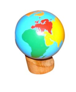 Globe (continent)
 Subtotal: ₹13,695.24 (Excl.Tax.)