-
×
 Golden Beads For Dynamic Set
2 × ₹1,238.10
Golden Beads For Dynamic Set
2 × ₹1,238.10 -
×
Number Rods
2 × ₹7,047.62
-
×
Opening & Closing Activity
1 × ₹895.24
-
×
Map Puzzle: Africa
1 × ₹3,695.24
-
×
Bead Material For Ten Board
2 × ₹1,238.10
-
×
Learning The Three Elements With Pic / Name Slips
1 × ₹1,247.62
-
×
Geometric Tiles
1 × ₹6,428.57
-
×
Sandpaper Letters Hindi
2 × ₹4,000.00
-
×
Hindi Moveable Alphabet: Single Box With Alphabets And Matras
1 × ₹11,609.52
-
×
Control Map North America Labelled
1 × ₹400.00
-
×
Number Cards 1 To 9000
1 × ₹1,971.43
-
×
Introduction To Decimal Symbol Cards
1 × ₹361.90
-
×
Map Puzzle: South America
1 × ₹3,523.81
-
×
Bead Material For Teen Board
1 × ₹590.48
-
×
Static Bead Material
1 × ₹3,904.76
-
×
Botany Cabinet Nomenclature Control Chart
1 × ₹361.90
-
×
Box With Lid For Multiplication Board
1 × ₹1,123.81
-
×
Kannada Matra Chart
1 × ₹1,561.90
-
×
Coloured Bead Stairs
2 × ₹2,580.95
-
×
Small Number Cards 1- 3000: Set Of 3
1 × ₹2,257.14
-
×
Traditional Names
1 × ₹1,066.67
-
×
Cards Counters
3 × ₹1,857.14
-
×
Control Map - Tamil Nadu Labelled
2 × ₹400.00
-
×
Noun & Verb Solids
1 × ₹990.48
-
×
Felt Material: Th, H, T, U
1 × ₹409.52
-
×
Terminology Cards: Parts Of Leaf
1 × ₹780.95
-
×
Control Map - Europe Labelled
1 × ₹400.00
-
×
Sandpaper Numbers
2 × ₹866.67
-
×
Dynamic Cubes & Squares
1 × ₹8,219.05
-
×
Botany Cabinet
1 × ₹6,733.33
-
×
Control Card - Flower Puzzle
1 × ₹152.38
-
×
Terminology Cards: Parts Of A Flower
1 × ₹1,019.05
-
×
Root Puzzle
1 × ₹409.52
-
×
Boy Puzzle
1 × ₹409.52
-
×
Map Puzzle: Australia
1 × ₹3,276.19
-
×
Imbucare Box With Flip Lid- Single Slot
1 × ₹1,009.52
-
×
Evolution Life Story Of A Frog
1 × ₹990.48
-
×
Control Card - Seed Puzzle
1 × ₹152.38
-
×
Stand For 3 Pencils
1 × ₹409.52
-
×
Stereognostic Small Bags
1 × ₹542.86
-
×
Flower Puzzle
1 × ₹409.52
-
×
Simple Fraction Board With Coins:1 To 1/3
1 × ₹580.95
-
×
Geography Land Form Cards With Stands: 6 Pairs
1 × ₹3,638.10
-
×
Geography Land Form Trays: 3d Moulds - 6 Pairs
1 × ₹11,542.86
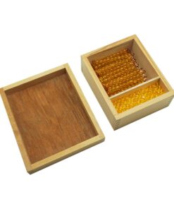 Golden Beads For Dynamic Set
 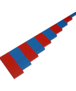 Number Rods
  Opening & Closing Activity
  Map Puzzle: Africa
 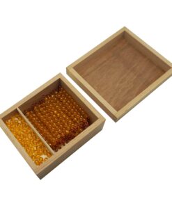 Bead Material For Ten Board
 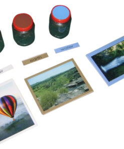 Learning The Three Elements With Pic / Name Slips
  Geometric Tiles
 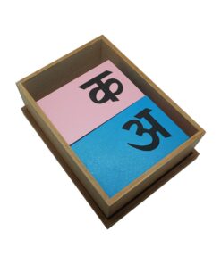 Sandpaper Letters Hindi
 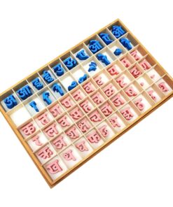 Hindi Moveable Alphabet: Single Box With Alphabets And Matras
 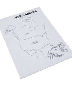 Control Map North America Labelled
 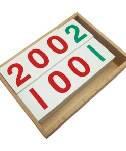 Number Cards 1 To 9000
  Introduction To Decimal Symbol Cards
 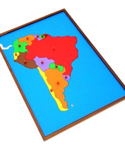 Map Puzzle: South America
  Bead Material For Teen Board
 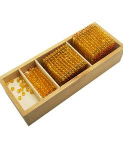 Static Bead Material
 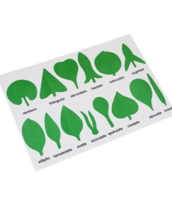 Botany Cabinet Nomenclature Control Chart
  Box With Lid For Multiplication Board
 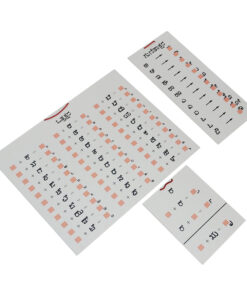 Kannada Matra Chart
  Coloured Bead Stairs
  Small Number Cards 1- 3000: Set Of 3
  Traditional Names
  Cards Counters
  Control Map - Tamil Nadu Labelled
 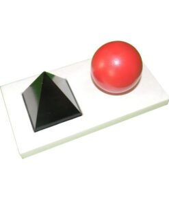 Noun & Verb Solids
  Felt Material: Th, H, T, U
 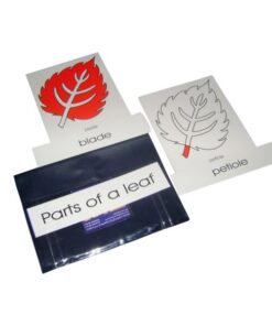 Terminology Cards: Parts Of Leaf
 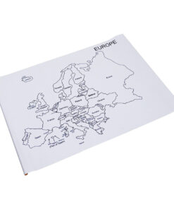 Control Map - Europe Labelled
  Sandpaper Numbers
  Dynamic Cubes & Squares
  Botany Cabinet
  Control Card - Flower Puzzle
 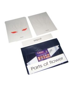 Terminology Cards: Parts Of A Flower
  Root Puzzle
  Boy Puzzle
 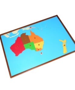 Map Puzzle: Australia
  Imbucare Box With Flip Lid- Single Slot
  Evolution Life Story Of A Frog
  Control Card - Seed Puzzle
 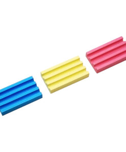 Stand For 3 Pencils
 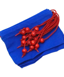 Stereognostic Small Bags
 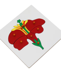 Flower Puzzle
  Simple Fraction Board With Coins:1 To 1/3
  Geography Land Form Cards With Stands: 6 Pairs
 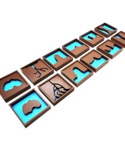 Geography Land Form Trays: 3d Moulds - 6 Pairs
 Subtotal: ₹123,390.48 (Excl.Tax.)