-
×
 Pink Tower
1 × ₹4,257.14
Pink Tower
1 × ₹4,257.14 -
×
Map Puzzle: Europe
1 × ₹3,876.19
-
×
Fish Puzzle
1 × ₹409.52
-
×
Opening & Closing Activity
1 × ₹895.24
-
×
Simple Fraction Board With Coins:1 To 1/3
1 × ₹580.95
-
×
Infant Imbucare Box With Cube
1 × ₹761.90
-
×
Botany Cabinet
1 × ₹6,733.33
-
×
Evolution Life Story Of A Tree
1 × ₹990.48
-
×
Division Board With Bead Box
1 × ₹1,066.67
-
×
Touch Boards
1 × ₹3,276.19
-
×
Imbucare Box With Flip Lid- Single Slot
1 × ₹1,009.52
-
×
Map Puzzle: South America
2 × ₹3,523.81
-
×
Sound Boxes Polished
1 × ₹3,904.76
-
×
Sandpaper Numbers
1 × ₹866.67
-
×
Horizontal Dowel Variation-serpentine
1 × ₹514.29
-
×
Box With Lid For Subtraction Board
1 × ₹1,590.48
-
×
Thermic Tablets-big
1 × ₹3,114.29
-
×
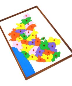
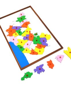
Map Puzzle: India
1 × ₹3,552.38
-
×
Globe (continent)
1 × ₹3,219.05
-
×
Object Permanence Box With Tray
1 × ₹895.24
-
×
Trinomial Squares
1 × ₹580.95
-
×
Discs On Horizontal Dowel
1 × ₹447.62
-
×
Mystery Bag: Common Objects
2 × ₹333.33
-
×
Box With Bins
1 × ₹1,514.29
-
×
Geometrical Cabinet
1 × ₹12,361.90
-
×
Evolution Life Story Of A Hen
1 × ₹990.48
-
×
Geometric Tiles
1 × ₹6,428.57
-
×
Number Cards With Sandpaper Cut Outs
1 × ₹1,000.00
-
×
Geography Land Form Trays: 3d Moulds - 6 Pairs
1 × ₹11,542.86
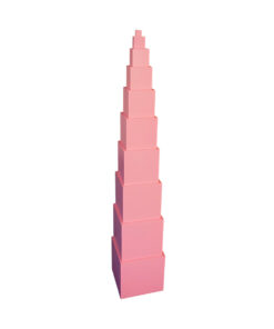 Pink Tower
  Map Puzzle: Europe
 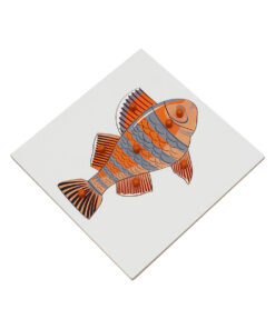 Fish Puzzle
  Opening & Closing Activity
  Simple Fraction Board With Coins:1 To 1/3
  Infant Imbucare Box With Cube
  Botany Cabinet
  Evolution Life Story Of A Tree
 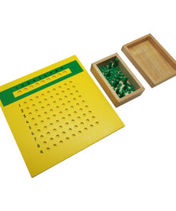 Division Board With Bead Box
 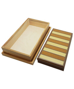 Touch Boards
  Imbucare Box With Flip Lid- Single Slot
 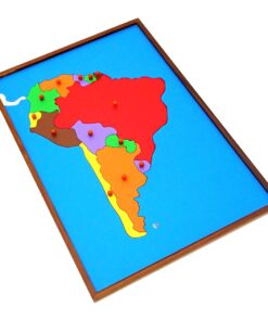 Map Puzzle: South America
 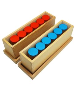 Sound Boxes Polished
 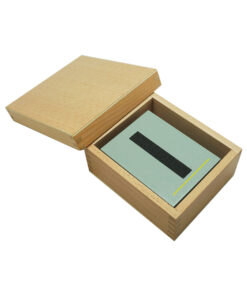 Sandpaper Numbers
  Horizontal Dowel Variation-serpentine
  Box With Lid For Subtraction Board
 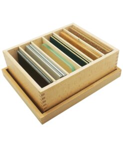 Thermic Tablets-big
 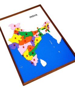 Map Puzzle: India
 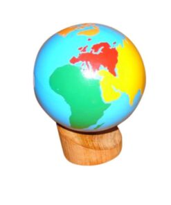 Globe (continent)
  Object Permanence Box With Tray
  Trinomial Squares
  Discs On Horizontal Dowel
  Mystery Bag: Common Objects
  Box With Bins
  Geometrical Cabinet
  Evolution Life Story Of A Hen
  Geometric Tiles
  Number Cards With Sandpaper Cut Outs
  Geography Land Form Trays: 3d Moulds - 6 Pairs
 Subtotal: ₹84,095.24 (Excl.Tax.)