-
×
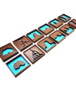
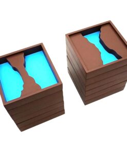
 Object Permanence Box With Tray
1 × ₹895.24
Object Permanence Box With Tray
1 × ₹895.24 -
×
Simple Fraction Board With Coins:1 To 1/3
1 × ₹580.95
-
×
Pink Tower
1 × ₹4,257.14
-
×
Fabric Box: 1st Box
1 × ₹990.48
-
×
Geometrical Cabinet
2 × ₹12,361.90
-
×
Infant Imbucare Box With Rectangular Prism
1 × ₹761.90
-
×
Binomial Squares
1 × ₹504.76
-
×
Drawing Insets
1 × ₹6,733.33
-
×
Number Cards 1 To 9000
1 × ₹1,971.43
-
×
Discs On Horizontal Dowel
1 × ₹447.62
-
×
Opening & Closing Activity
1 × ₹895.24
-
×
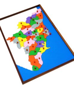
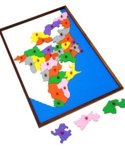
Map Puzzle: India
1 × ₹3,552.38
 Object Permanence Box With Tray
  Simple Fraction Board With Coins:1 To 1/3
 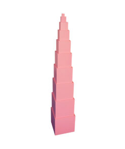 Pink Tower
 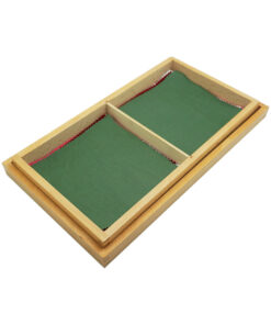 Fabric Box: 1st Box
  Geometrical Cabinet
  Infant Imbucare Box With Rectangular Prism
 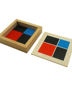 Binomial Squares
  Drawing Insets
 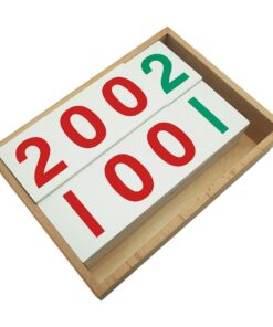 Number Cards 1 To 9000
  Discs On Horizontal Dowel
  Opening & Closing Activity
 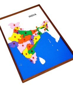 Map Puzzle: India
 Subtotal: ₹46,314.29 (Excl.Tax.)