-
×
 Evolution Life Story Of A Frog
1 × ₹990.48
Evolution Life Story Of A Frog
1 × ₹990.48 -
×
3d Object Fitting Exercise With Tray
1 × ₹1,104.76
-
×
Number Cards 1 To 1000
1 × ₹1,666.67
-
×
Learning The Three Elements With Pic / Name Slips
1 × ₹1,247.62
-
×
Geometric Tiles
1 × ₹6,428.57
-
×
Tertiary Colour Tablets
2 × ₹5,019.05
-
×
Evolution Life Story Of A Hen
1 × ₹990.48
-
×
Imbucare Box With Knitting Ball
3 × ₹942.86
-
×
Horizontal Dowel Variation-serpentine
2 × ₹514.29
-
×
Discs On Vertical Dowel
2 × ₹447.62
-
×
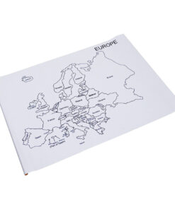
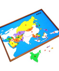
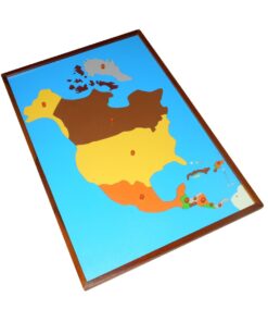
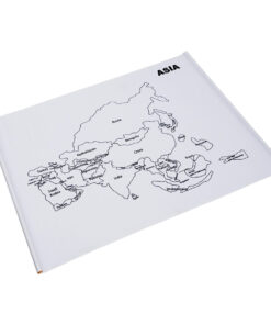
Map Puzzle: Europe
1 × ₹3,876.19
-
×
Infant Imbucare Box With Cylinder
1 × ₹761.90
-
×
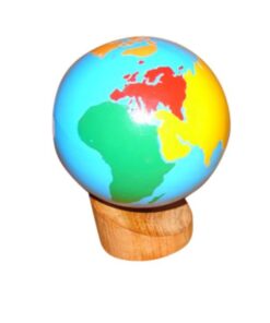
Geometrical Cabinet
1 × ₹12,361.90
-
×
Control Map - Karnataka Labelled
1 × ₹400.00
-
×
Geometrical Cabinet Nomenclature Control Chart
1 × ₹323.81
-
×
Touch Boards
1 × ₹3,276.19
-
×
Primary Colour Tablets
1 × ₹866.67
-
×
Control Map World Labelled
1 × ₹400.00
-
×
Opening & Closing Activity
1 × ₹895.24
-
×
Botany Cabinet Nomenclature Control Chart
1 × ₹361.90
-
×
Evolution Life Story Of A Tree
3 × ₹990.48
-
×
Touch Tablets
1 × ₹1,876.19
-
×
Object Permanence Box With Drawer
1 × ₹914.29
-
×
Horizontal Dowel Variation- Straight
1 × ₹495.24
-
×
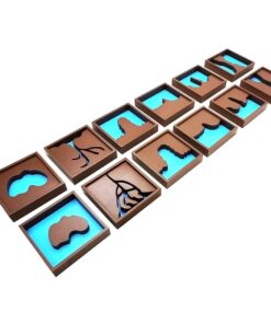
Stereognostic Bag: 3d Shapes
1 × ₹352.38
-
×
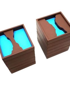
Cylinder Blocks
2 × ₹12,666.67
-
×
Stereognostic Bag: 2d Shapes
1 × ₹457.14
-
×
Geo Cabinet Shapes: 3 Part Nomenclature Cards
1 × ₹885.71
-
×
Addition Strip Board Incl Strip Tray
1 × ₹1,266.67
-
×
Drawing Insets
1 × ₹6,733.33
-
×
Mystery Bag: Common Objects
1 × ₹333.33
-
×
Infant Imbucare Box With Cube
1 × ₹761.90
-
×
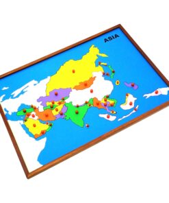
Map Puzzle: Karnataka
1 × ₹3,600.00
 Evolution Life Story Of A Frog
 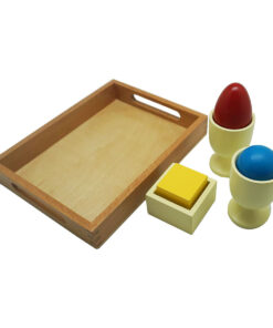 3d Object Fitting Exercise With Tray
 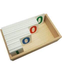 Number Cards 1 To 1000
 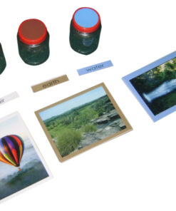 Learning The Three Elements With Pic / Name Slips
  Geometric Tiles
 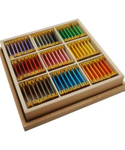 Tertiary Colour Tablets
  Evolution Life Story Of A Hen
  Imbucare Box With Knitting Ball
  Horizontal Dowel Variation-serpentine
  Discs On Vertical Dowel
  Map Puzzle: Europe
  Infant Imbucare Box With Cylinder
  Geometrical Cabinet
  Control Map - Karnataka Labelled
 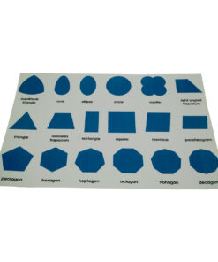 Geometrical Cabinet Nomenclature Control Chart
 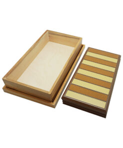 Touch Boards
 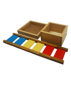 Primary Colour Tablets
 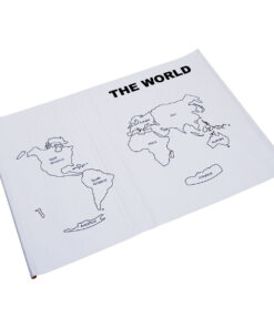 Control Map World Labelled
  Opening & Closing Activity
 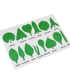 Botany Cabinet Nomenclature Control Chart
  Evolution Life Story Of A Tree
 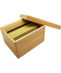 Touch Tablets
 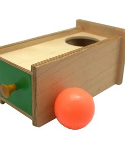 Object Permanence Box With Drawer
  Horizontal Dowel Variation- Straight
  Stereognostic Bag: 3d Shapes
 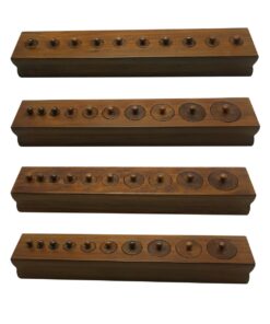 Cylinder Blocks
 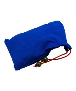 Stereognostic Bag: 2d Shapes
 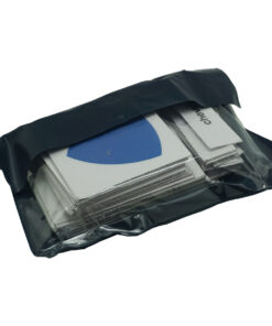 Geo Cabinet Shapes: 3 Part Nomenclature Cards
  Addition Strip Board Incl Strip Tray
  Drawing Insets
 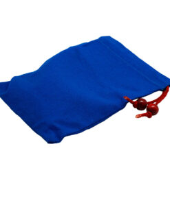 Mystery Bag: Common Objects
  Infant Imbucare Box With Cube
 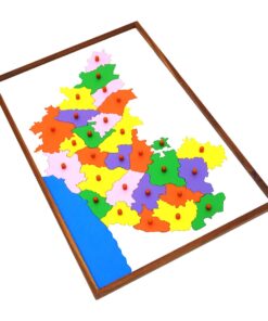 Map Puzzle: Karnataka
 Subtotal: ₹96,723.81 (Excl.Tax.)