-
×
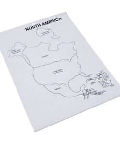
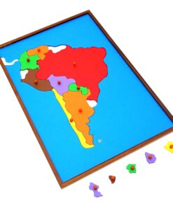
 Bird Puzzle
1 × ₹409.52
Bird Puzzle
1 × ₹409.52 -
×
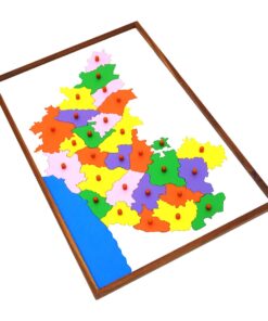
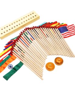
Control Card - Horse Puzzle
1 × ₹152.38
-
×
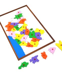
Evolution Life Story Of Butterfly
1 × ₹990.48
-
×
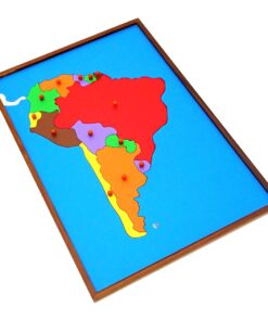
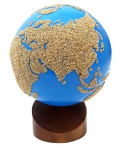
Globe (continent)
1 × ₹3,219.05
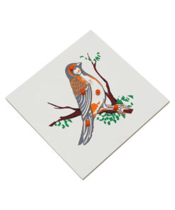 Bird Puzzle
  Control Card - Horse Puzzle
  Evolution Life Story Of Butterfly
 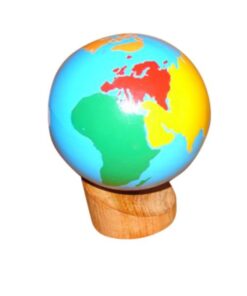 Globe (continent)
 Subtotal: ₹4,771.43 (Excl.Tax.)