-
×
 Pink Tower
1 × ₹4,257.14
Pink Tower
1 × ₹4,257.14 -
×
Control Card: Butterfly Puzzle
1 × ₹152.38
-
×
Touch Tablets
1 × ₹1,876.19
-
×
Learning The Three Elements With Pic / Name Slips
1 × ₹1,247.62
-
×
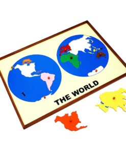
Globe (continent)
1 × ₹3,219.05
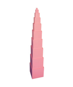 Pink Tower
  Control Card: Butterfly Puzzle
  Touch Tablets
 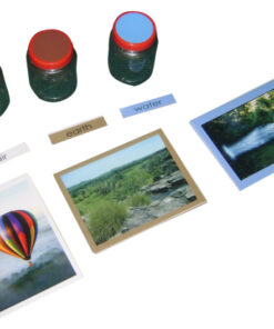 Learning The Three Elements With Pic / Name Slips
 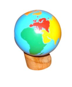 Globe (continent)
 Subtotal: ₹10,752.38 (Excl.Tax.)