-
×
 3d Object Fitting Exercise With Tray
1 × ₹1,104.76
3d Object Fitting Exercise With Tray
1 × ₹1,104.76 -
×
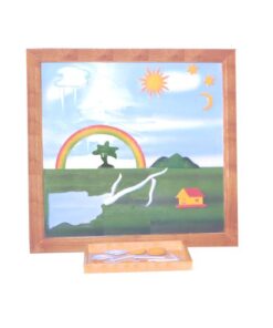
Evolution Life Story Of A Frog
1 × ₹990.48
-
×
Control Card - Tortoise Puzzle
1 × ₹152.38
-
×
Control Card - Horse Puzzle
2 × ₹152.38
-
×
Geography Land Form Trays: 3d Moulds - 6 Pairs
1 × ₹11,542.86
-
×
Geography Land Form Cards With Stands: 6 Pairs
1 × ₹3,638.10
-
×
Control Card: Boy Puzzle
1 × ₹152.38
-
×
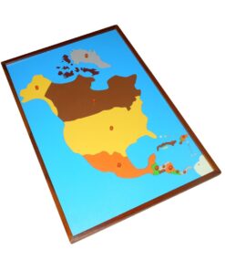
Control Map North America Labelled
1 × ₹400.00
-
×
Control Card - Snail Puzzle
1 × ₹152.38
-
×
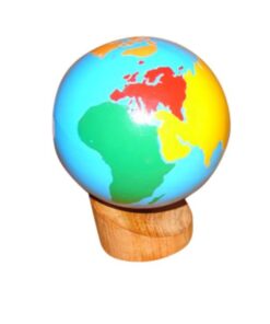
Globe (land & Water)
1 × ₹2,980.95
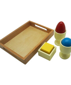 3d Object Fitting Exercise With Tray
  Evolution Life Story Of A Frog
 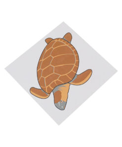 Control Card - Tortoise Puzzle
  Control Card - Horse Puzzle
 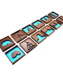 Geography Land Form Trays: 3d Moulds - 6 Pairs
  Geography Land Form Cards With Stands: 6 Pairs
 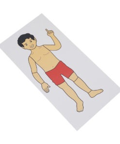 Control Card: Boy Puzzle
 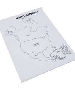 Control Map North America Labelled
  Control Card - Snail Puzzle
 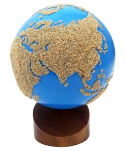 Globe (land & Water)
 Subtotal: ₹21,419.05 (Excl.Tax.)