-
×
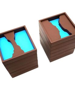
 Geography Land Form Trays: 3d Moulds - 6 Pairs
1 × ₹11,542.86
Geography Land Form Trays: 3d Moulds - 6 Pairs
1 × ₹11,542.86 -
×
Sandpaper Letters Capital
1 × ₹2,533.33
-
×
Root Puzzle
2 × ₹409.52
-
×
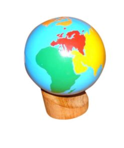
Control Map World Labelled
1 × ₹400.00
-
×
Traditional Names
1 × ₹1,066.67
-
×
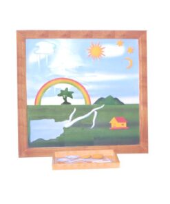
Evolution Life Story Of A Tree
1 × ₹990.48
-
×
Botany Cabinet Shapes: 3 Part Nomenclature Cards
2 × ₹438.10
-
×
Object Permanence Box With Drawer
1 × ₹914.29
-
×
Botany Cabinet Nomenclature Control Chart
1 × ₹361.90
-
×
Paper Dispenser Tray For Metal Insets
1 × ₹228.57
-
×
Terminology Cards: Parts Of Leaf
1 × ₹780.95
-
×
Control Card - Tortoise Puzzle
1 × ₹152.38
-
×
Control Card: Butterfly Puzzle
1 × ₹152.38
-
×
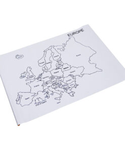
Map Puzzle: Europe
1 × ₹3,876.19
-
×
Control Card - Tree Puzzle
1 × ₹152.38
-
×
Introduction To Decimal System Beads
1 × ₹2,504.76
-
×
Number Cards 1 To 1000
1 × ₹1,666.67
-
×
Introduction To Decimal Symbol Cards
1 × ₹361.90
-
×
Infant Imbucare Box With Cube
1 × ₹761.90
-
×
Imbucare Box With Knitting Ball
1 × ₹942.86
-
×
Terminology Cards: Parts Of A Flower
1 × ₹1,019.05
-
×
Box With Lid For Subtraction Board
1 × ₹1,590.48
-
×
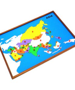
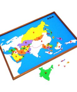
Map Puzzle: World
1 × ₹3,276.19
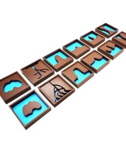 Geography Land Form Trays: 3d Moulds - 6 Pairs
  Sandpaper Letters Capital
  Root Puzzle
 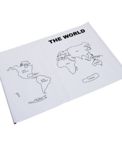 Control Map World Labelled
  Traditional Names
  Evolution Life Story Of A Tree
 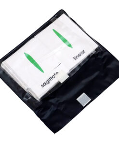 Botany Cabinet Shapes: 3 Part Nomenclature Cards
 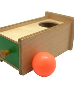 Object Permanence Box With Drawer
 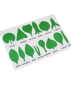 Botany Cabinet Nomenclature Control Chart
 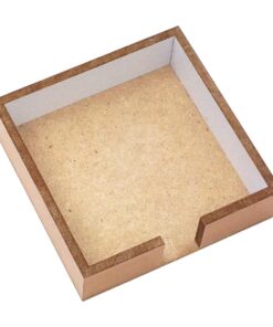 Paper Dispenser Tray For Metal Insets
 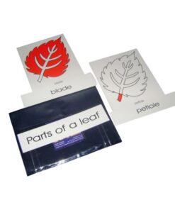 Terminology Cards: Parts Of Leaf
 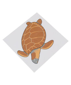 Control Card - Tortoise Puzzle
  Control Card: Butterfly Puzzle
  Map Puzzle: Europe
  Control Card - Tree Puzzle
  Introduction To Decimal System Beads
 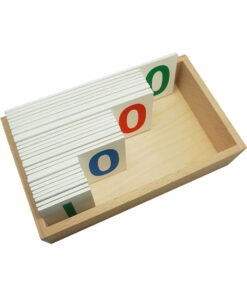 Number Cards 1 To 1000
  Introduction To Decimal Symbol Cards
  Infant Imbucare Box With Cube
  Imbucare Box With Knitting Ball
 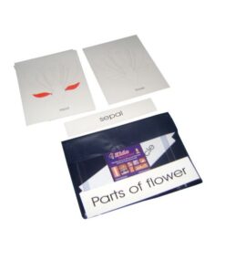 Terminology Cards: Parts Of A Flower
  Box With Lid For Subtraction Board
 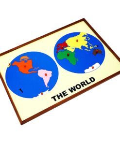 Map Puzzle: World
 Subtotal: ₹36,971.43 (Excl.Tax.)