-
×
 Spindle Boxes
1 × ₹2,828.57
Spindle Boxes
1 × ₹2,828.57 -
×
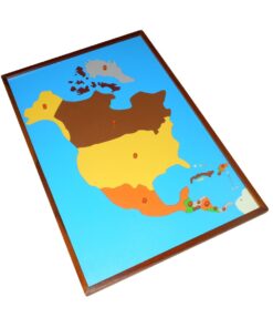
Control Map North America Labelled
1 × ₹400.00
-
×
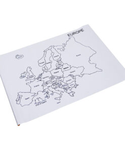
Map Puzzle: Europe
1 × ₹3,876.19
-
×
Infant Imbucare Box With Cube
1 × ₹761.90
-
×
Object Permanence Box With Tray
1 × ₹895.24
-
×
Flower Puzzle
1 × ₹409.52
-
×
Imbucare Box With Knitting Ball
1 × ₹942.86
-
×
Infant Imbucare Box With Sphere
1 × ₹761.90
-
×
Box With Bins
1 × ₹1,514.29
-
×
Horizontal Dowel Variation-serpentine
1 × ₹514.29
-
×
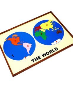
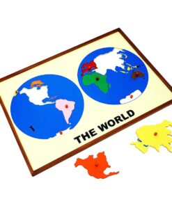
Map Puzzle: South America
1 × ₹3,523.81
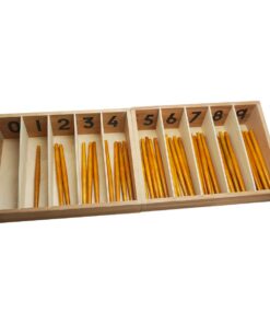 Spindle Boxes
 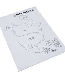 Control Map North America Labelled
  Map Puzzle: Europe
  Infant Imbucare Box With Cube
  Object Permanence Box With Tray
 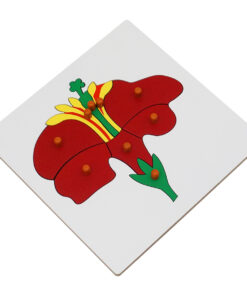 Flower Puzzle
  Imbucare Box With Knitting Ball
  Infant Imbucare Box With Sphere
 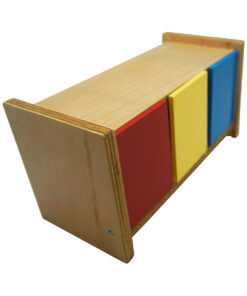 Box With Bins
  Horizontal Dowel Variation-serpentine
 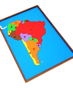 Map Puzzle: South America
 Subtotal: ₹16,428.57 (Excl.Tax.)