-
×
 Infant Imbucare Box With Triangular Prism
1 × ₹761.90
Infant Imbucare Box With Triangular Prism
1 × ₹761.90 -
×
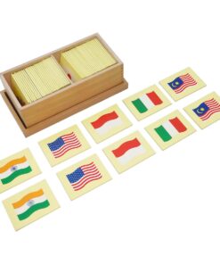
Learning The Three Elements With Pic / Name Slips
1 × ₹1,247.62
-
×
Opening & Closing Activity
1 × ₹895.24
-
×
Pink Tower
1 × ₹4,257.14
-
×
Botany Cabinet Nomenclature Control Chart
1 × ₹361.90
-
×
Evolution Life Story Of Butterfly
1 × ₹990.48
-
×
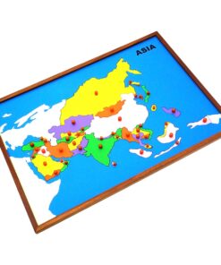
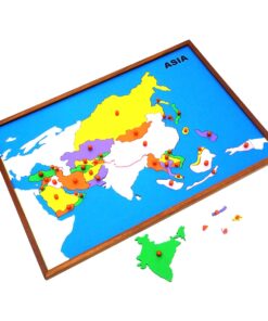
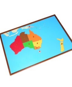
Map Puzzle: Africa
1 × ₹3,695.24
 Infant Imbucare Box With Triangular Prism
 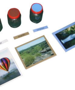 Learning The Three Elements With Pic / Name Slips
  Opening & Closing Activity
 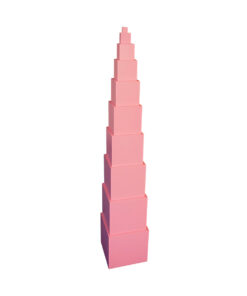 Pink Tower
 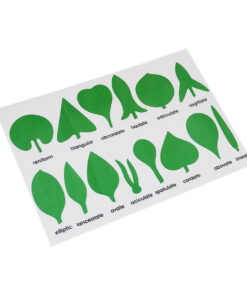 Botany Cabinet Nomenclature Control Chart
  Evolution Life Story Of Butterfly
  Map Puzzle: Africa
 Subtotal: ₹12,209.52 (Excl.Tax.)