-
×
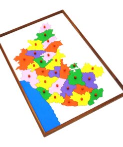
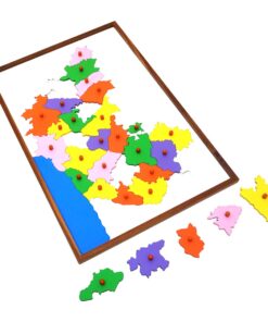
 Control Map - India Labelled
1 × ₹400.00
Control Map - India Labelled
1 × ₹400.00 -
×
Pink Tower
1 × ₹4,257.14
-
×
Discs On Vertical Dowel
1 × ₹447.62
-
×
Cubes On Vertical Dowel
1 × ₹447.62
-
×
Presentation Tray
1 × ₹2,780.95
-
×
Coloured Discs On Coloured Dowel
1 × ₹514.29
-
×
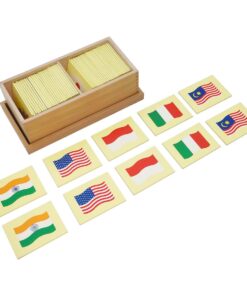
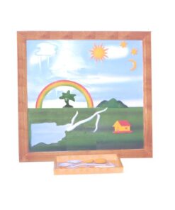
Learning The Three Elements With Pic / Name Slips
1 × ₹1,247.62
-
×
Terminology Cards: Parts Of Bird
1 × ₹809.52
-
×
Touch Tablets
1 × ₹1,876.19
-
×
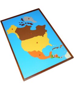
Map Puzzle: Asia
1 × ₹3,876.19
 Control Map - India Labelled
 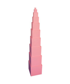 Pink Tower
  Discs On Vertical Dowel
  Cubes On Vertical Dowel
 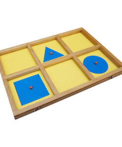 Presentation Tray
 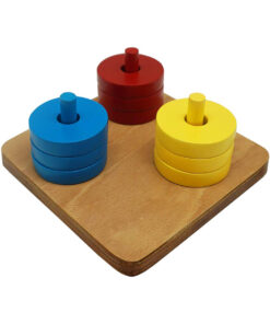 Coloured Discs On Coloured Dowel
 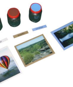 Learning The Three Elements With Pic / Name Slips
 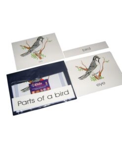 Terminology Cards: Parts Of Bird
 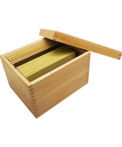 Touch Tablets
 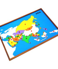 Map Puzzle: Asia
 Subtotal: ₹16,657.14 (Excl.Tax.)