-
×
 Stereognostic Bag: 2d Shapes
1 × ₹457.14
Stereognostic Bag: 2d Shapes
1 × ₹457.14 -
×
Seguin Boards Teen (10 To 19)
1 × ₹2,676.19
-
×
Introduction To Decimal System Beads
1 × ₹2,504.76
-
×
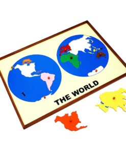
Geography Land Form Cards With Stands: 6 Pairs
1 × ₹3,638.10
-
×
Bead Material For Teen Board
1 × ₹590.48
-
×
Brown Stairs Polished
1 × ₹6,428.57
-
×
Coloured Bead Stairs
1 × ₹2,580.95
-
×
Number Cards 1 To 1000
1 × ₹1,666.67
-
×
Opening & Closing Activity
1 × ₹895.24
-
×
Evolution Life Story Of A Frog
1 × ₹990.48
-
×
Geometrical Cabinet
1 × ₹12,361.90
-
×
Imbucare Box With Knitting Ball
2 × ₹942.86
-
×
Infant Imbucare Box With Sphere
1 × ₹761.90
-
×
Long Stairs
1 × ₹6,333.33
-
×
Spindle Boxes
1 × ₹2,828.57
-
×
Horizontal Dowel Variation- Straight
1 × ₹495.24
-
×
Boy Puzzle
1 × ₹409.52
-
×
Number Cards With Sandpaper Cut Outs
1 × ₹1,000.00
-
×
Table For Long Stairs
1 × ₹2,550.85
-
×
Evolution Life Story Of A Hen
1 × ₹990.48
-
×
Map Puzzle: Australia
1 × ₹3,276.19
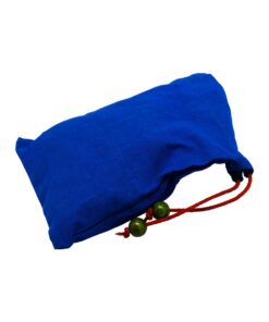 Stereognostic Bag: 2d Shapes
  Seguin Boards Teen (10 To 19)
  Introduction To Decimal System Beads
  Geography Land Form Cards With Stands: 6 Pairs
  Bead Material For Teen Board
 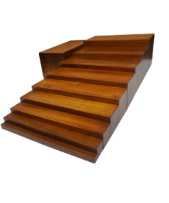 Brown Stairs Polished
  Coloured Bead Stairs
 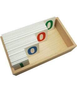 Number Cards 1 To 1000
  Opening & Closing Activity
  Evolution Life Story Of A Frog
  Geometrical Cabinet
  Imbucare Box With Knitting Ball
  Infant Imbucare Box With Sphere
 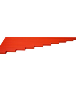 Long Stairs
 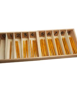 Spindle Boxes
  Horizontal Dowel Variation- Straight
  Boy Puzzle
  Number Cards With Sandpaper Cut Outs
 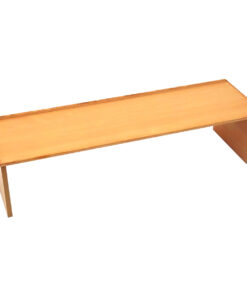 Table For Long Stairs
  Evolution Life Story Of A Hen
 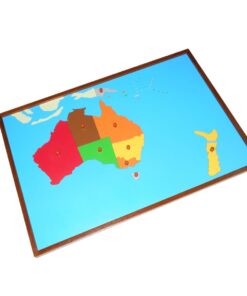 Map Puzzle: Australia
 Subtotal: ₹55,322.28 (Excl.Tax.)