-
×
 Infant Imbucare Box With Cylinder
2 × ₹761.90
Infant Imbucare Box With Cylinder
2 × ₹761.90 -
×
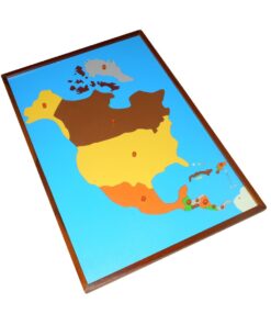
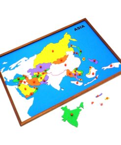
Map Puzzle: World
1 × ₹3,276.19
-
×
Puzzle Map of Kerala
2 × ₹3,523.81
-
×
Simple Fraction Board With Coins:1 To 1/3
1 × ₹580.95
-
×
Control Map - India Labelled
1 × ₹400.00
-
×
Coloured Discs On Coloured Dowel
1 × ₹514.29
-
×
Tortoise Puzzle
1 × ₹409.52
-
×
Opening & Closing Activity
2 × ₹895.24
-
×
Imbucare Box With Flip Lid- Single Slot
1 × ₹1,009.52
-
×
Learning The Three Elements With Pic / Name Slips
1 × ₹1,247.62
-
×
Multiple Shape Puzzle (set Of 2)
1 × ₹961.90
-
×
Number Cards 1 To 1000
1 × ₹1,666.67
-
×
Geometrical Form Cards
1 × ₹9,466.67
-
×
Map Puzzle: South America
1 × ₹3,523.81
-
×
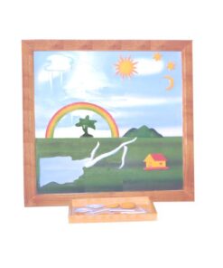
Evolution Life Story Of A Tree
1 × ₹990.48
-
×
Felt Material: Th, H, T, U
1 × ₹409.52
-
×
Pink Tower
1 × ₹4,257.14
-
×
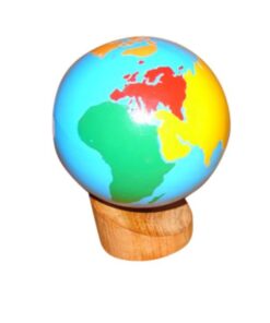
Globe (land & Water)
1 × ₹2,980.95
-
×
Number Cards With Sandpaper Cut Outs
1 × ₹1,000.00
-
×
Map Puzzle: India
1 × ₹3,552.38
-
×
Map Puzzle: Africa
1 × ₹3,695.24
-
×
Botany Cabinet Nomenclature Control Chart
1 × ₹361.90
-
×
Control Card - Leaf Puzzle
1 × ₹152.38
-
×
Fabric Box: 1st Box
1 × ₹990.48
-
×
Geography Land Form Trays: 3d Moulds - 6 Pairs
1 × ₹11,542.86
 Infant Imbucare Box With Cylinder
 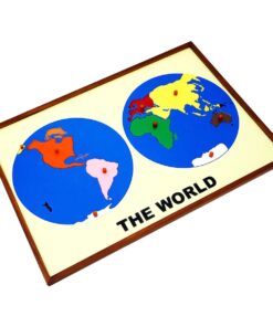 Map Puzzle: World
  Puzzle Map of Kerala
  Simple Fraction Board With Coins:1 To 1/3
  Control Map - India Labelled
 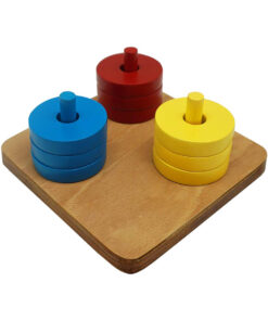 Coloured Discs On Coloured Dowel
  Tortoise Puzzle
  Opening & Closing Activity
  Imbucare Box With Flip Lid- Single Slot
 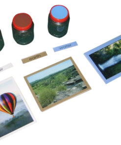 Learning The Three Elements With Pic / Name Slips
  Multiple Shape Puzzle (set Of 2)
 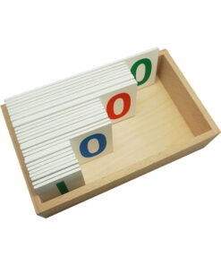 Number Cards 1 To 1000
 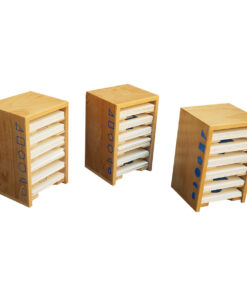 Geometrical Form Cards
 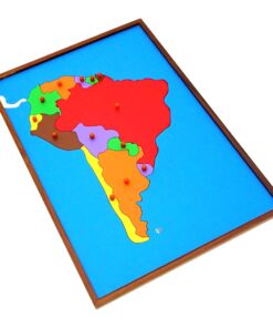 Map Puzzle: South America
  Evolution Life Story Of A Tree
  Felt Material: Th, H, T, U
 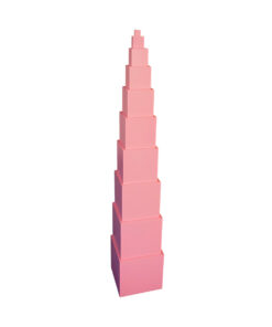 Pink Tower
 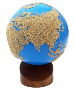 Globe (land & Water)
  Number Cards With Sandpaper Cut Outs
 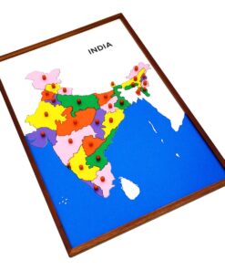 Map Puzzle: India
  Map Puzzle: Africa
 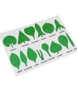 Botany Cabinet Nomenclature Control Chart
 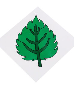 Control Card - Leaf Puzzle
 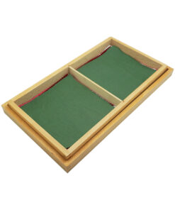 Fabric Box: 1st Box
 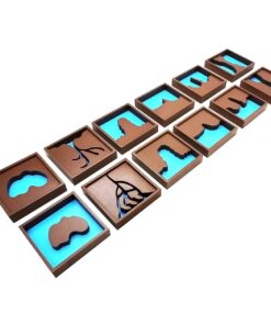 Geography Land Form Trays: 3d Moulds - 6 Pairs
 Subtotal: ₹63,352.38 (Excl.Tax.)