-
×
 Stand For 5 Oil Cloths
1 × ₹1,067.80
Stand For 5 Oil Cloths
1 × ₹1,067.80 -
×
Tamil Kuriyeedu (matra Chart)
1 × ₹1,961.90
-
×
Introduction To Decimal Symbol Cards
1 × ₹361.90
-
×
Opening & Closing Activity
1 × ₹895.24
-
×
Moveable Alphabet Kannada: Single Box With Matras And Alphabets
1 × ₹11,609.52
-
×
Dynamic Cubes & Squares
1 × ₹8,219.05
-
×
Hindi Moveable Alphabet: Single Box With Alphabets And Matras
1 × ₹11,609.52
-
×
Hindi Matra Chart
1 × ₹2,076.19
-
×
Moveable Alphabet Cursive Large Wooden
2 × ₹5,514.29
-
×
Infant Imbucare Box With Sphere
1 × ₹761.90
-
×
Terminology Cards: Parts Of Leaf
1 × ₹780.95
-
×
Coloured Bead Stairs
2 × ₹2,580.95
-
×
Botany Cabinet Nomenclature Control Chart
1 × ₹361.90
-
×
Evolution Life Story Of Butterfly
1 × ₹990.48
-
×
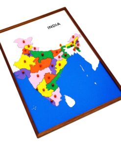
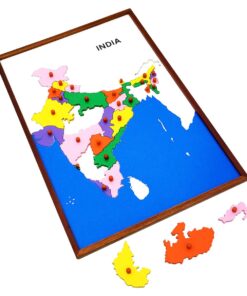
Map Puzzle: Tamil Nadu
1 × ₹3,600.00
-
×
Felt Material: Th, H, T, U
1 × ₹409.52
-
×
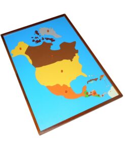
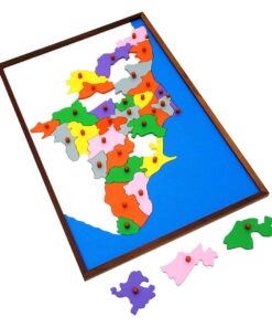
Map Puzzle: Asia
1 × ₹3,876.19
-
×
Sandpaper Numbers
1 × ₹866.67
-
×
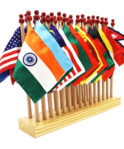
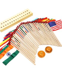
Flag Pairing
1 × ₹4,000.00
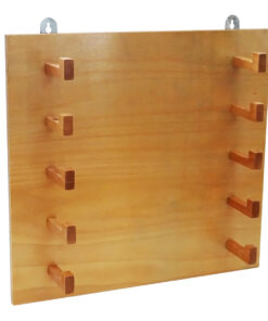 Stand For 5 Oil Cloths
 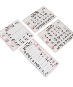 Tamil Kuriyeedu (matra Chart)
  Introduction To Decimal Symbol Cards
  Opening & Closing Activity
 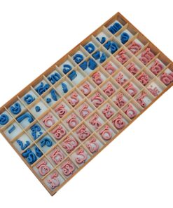 Moveable Alphabet Kannada: Single Box With Matras And Alphabets
  Dynamic Cubes & Squares
 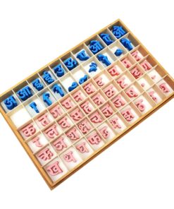 Hindi Moveable Alphabet: Single Box With Alphabets And Matras
 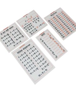 Hindi Matra Chart
  Moveable Alphabet Cursive Large Wooden
  Infant Imbucare Box With Sphere
 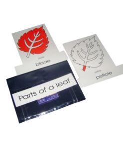 Terminology Cards: Parts Of Leaf
  Coloured Bead Stairs
  Botany Cabinet Nomenclature Control Chart
  Evolution Life Story Of Butterfly
 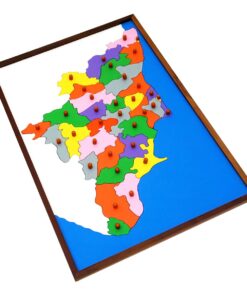 Map Puzzle: Tamil Nadu
  Felt Material: Th, H, T, U
 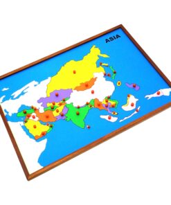 Map Puzzle: Asia
  Sandpaper Numbers
 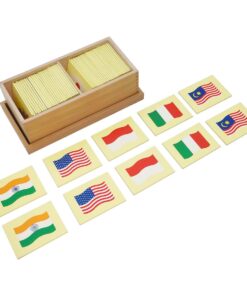 Flag Pairing
 Subtotal: ₹69,639.23 (Excl.Tax.)