-
×
 Pink Tower
1 × ₹4,257.14
Pink Tower
1 × ₹4,257.14 -
×
Control Card: Butterfly Puzzle
1 × ₹152.38
-
×
Touch Tablets
2 × ₹1,876.19
-
×
Learning The Three Elements With Pic / Name Slips
3 × ₹1,247.62
-
×
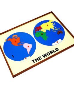
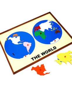
Globe (continent)
1 × ₹3,219.05
-
×
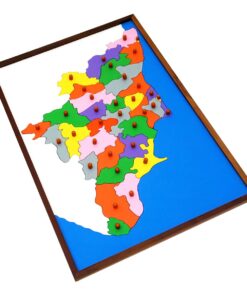
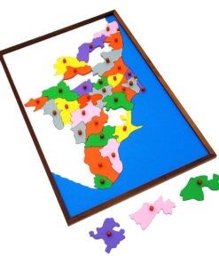
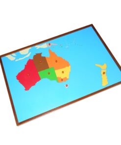
Puzzle Map of Kerala
2 × ₹3,523.81
-
×
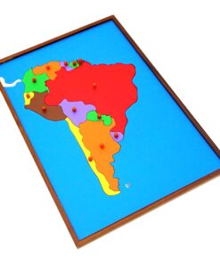
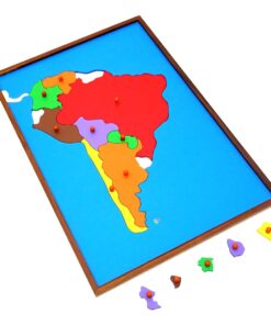
Map Puzzle: Africa
1 × ₹3,695.24
-
×
Primary Colour Tablets
1 × ₹866.67
-
×
Geometrical Form Cards
1 × ₹9,466.67
-
×
Geometrical Cabinet
1 × ₹12,361.90
-
×
Botany Cabinet Nomenclature Control Chart
1 × ₹361.90
-
×
Fish Puzzle
1 × ₹409.52
-
×
Fabric Box: 1st Box
3 × ₹990.48
-
×
Geometric Tiles
1 × ₹6,428.57
-
×
Boy Puzzle
1 × ₹409.52
-
×
Evolution Life Story Of A Tree
1 × ₹990.48
-
×
Trinomial Squares
1 × ₹580.95
-
×
Stereognostic Bag: 3d Shapes
1 × ₹352.38
-
×
Binomial Squares
1 × ₹504.76
-
×
Control Map - India Labelled
1 × ₹400.00
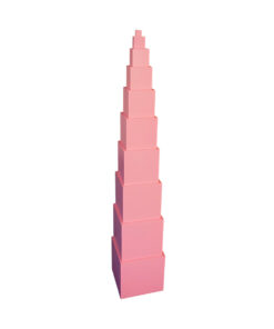 Pink Tower
  Control Card: Butterfly Puzzle
  Touch Tablets
 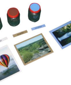 Learning The Three Elements With Pic / Name Slips
 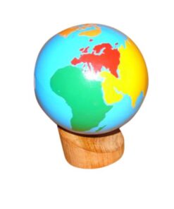 Globe (continent)
  Puzzle Map of Kerala
  Map Puzzle: Africa
  Primary Colour Tablets
  Geometrical Form Cards
  Geometrical Cabinet
  Botany Cabinet Nomenclature Control Chart
 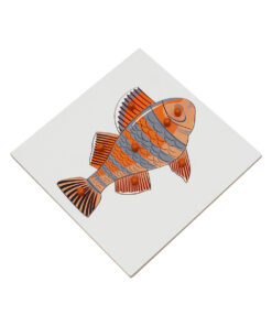 Fish Puzzle
 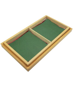 Fabric Box: 1st Box
  Geometric Tiles
  Boy Puzzle
  Evolution Life Story Of A Tree
  Trinomial Squares
  Stereognostic Bag: 3d Shapes
 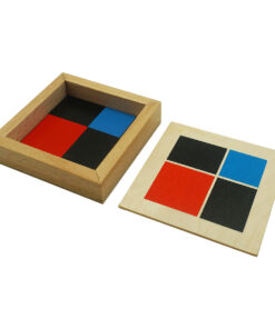 Binomial Squares
  Control Map - India Labelled
 Subtotal: ₹61,971.43 (Excl.Tax.)