-
×
 Geography Land Form Trays: 3d Moulds - 6 Pairs
1 × ₹11,542.86
Geography Land Form Trays: 3d Moulds - 6 Pairs
1 × ₹11,542.86 -
×
Control Map - Tamil Nadu Labelled
2 × ₹400.00
-
×
Botany Cabinet Nomenclature Control Chart
2 × ₹361.90
-
×
Traditional Names
1 × ₹1,066.67
-
×
Introduction To Decimal System Beads
2 × ₹2,504.76
-
×
Evolution Life Story Of A Frog
1 × ₹990.48
-
×
Imbucare Box With Flip Lid- Single Slot
2 × ₹1,009.52
-
×
Fabric Box: 1st Box
1 × ₹990.48
-
×
Discs On Horizontal Dowel
2 × ₹447.62
-
×
Stereognostic Bag: Same Shape Diff Sizes
1 × ₹219.05
-
×
Control Card - Flower Puzzle
1 × ₹152.38
-
×
Mystery Bag: Common Objects
2 × ₹333.33
-
×
Box With Lid For Addition Board
1 × ₹1,590.48
-
×
Control Map - Europe Labelled
1 × ₹400.00
-
×
Single Shape Puzzle Set: Set Of 4
1 × ₹1,047.62
-
×
Touch Boards
2 × ₹3,276.19
-
×
Horizontal Dowel Variation- Straight
1 × ₹495.24
-
×
Box With Lid For Subtraction Board
2 × ₹1,590.48
-
×
Cards For Number Rods
1 × ₹714.29
-
×
Boy Puzzle
1 × ₹409.52
-
×
Static Bead Material
1 × ₹3,904.76
-
×
Simple Fraction Board With Coins:1 To 1/3
1 × ₹580.95
-
×
Multiple Shape Puzzle (set Of 2)
1 × ₹961.90
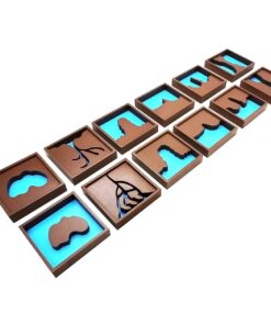 Geography Land Form Trays: 3d Moulds - 6 Pairs
  Control Map - Tamil Nadu Labelled
  Botany Cabinet Nomenclature Control Chart
  Traditional Names
  Introduction To Decimal System Beads
  Evolution Life Story Of A Frog
  Imbucare Box With Flip Lid- Single Slot
  Fabric Box: 1st Box
  Discs On Horizontal Dowel
 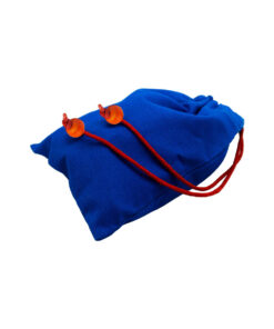 Stereognostic Bag: Same Shape Diff Sizes
  Control Card - Flower Puzzle
 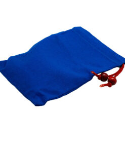 Mystery Bag: Common Objects
  Box With Lid For Addition Board
 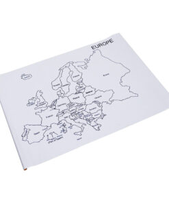 Control Map - Europe Labelled
  Single Shape Puzzle Set: Set Of 4
 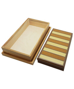 Touch Boards
  Horizontal Dowel Variation- Straight
  Box With Lid For Subtraction Board
  Cards For Number Rods
  Boy Puzzle
 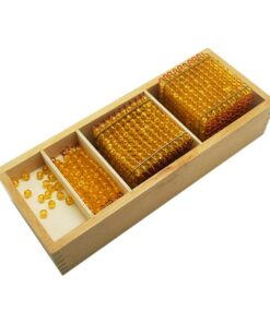 Static Bead Material
  Simple Fraction Board With Coins:1 To 1/3
  Multiple Shape Puzzle (set Of 2)
 Subtotal: ₹44,914.29 (Excl.Tax.)