-
×
 Cards Counters
1 × ₹1,857.14
Cards Counters
1 × ₹1,857.14 -
×
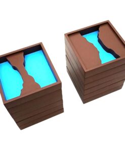
Box With Lid For Subtraction Board
1 × ₹1,590.48
-
×
Map Puzzle: Tamil Nadu
1 × ₹3,600.00
-
×
Introduction To Decimal Symbol Cards
1 × ₹361.90
-
×
Infant Imbucare Box With Cylinder
1 × ₹761.90
-
×
Logical Analysis Set Of 4 Boards
1 × ₹5,600.00
-
×
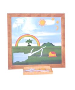
Evolution Life Story Of A Tree
2 × ₹990.48
-
×
India Gate: (roman Arch)
1 × ₹2,561.90
-
×
Moveable Alphabet Cursive Large Wooden
1 × ₹5,514.29
-
×
Infant Imbucare Box With Cube
1 × ₹761.90
-
×
Small Number Cards 1- 3000: Set Of 3
2 × ₹2,257.14
-
×
Traditional Names
1 × ₹1,066.67
-
×
Single Shape Puzzle Set: Set Of 4
1 × ₹1,047.62
-
×
Cards For Number Rods
1 × ₹714.29
-
×
Spindle Boxes
1 × ₹2,828.57
-
×
Number Rods
1 × ₹7,047.62
-
×
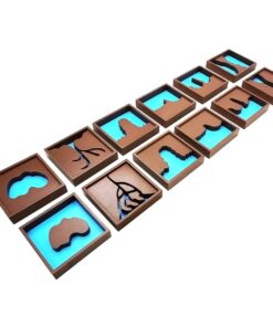
Geography Land Form Cards With Stands: 6 Pairs
1 × ₹3,638.10
-
×
Number Cards 1 To 9000
1 × ₹1,971.43
-
×
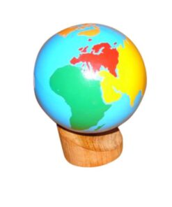
Control Map World Labelled
1 × ₹400.00
 Cards Counters
  Box With Lid For Subtraction Board
 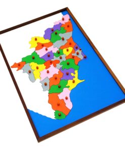 Map Puzzle: Tamil Nadu
  Introduction To Decimal Symbol Cards
  Infant Imbucare Box With Cylinder
 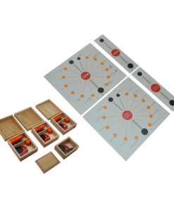 Logical Analysis Set Of 4 Boards
  Evolution Life Story Of A Tree
 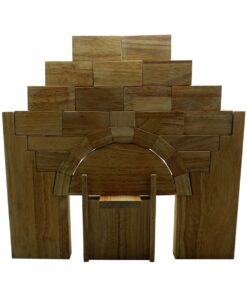 India Gate: (roman Arch)
  Moveable Alphabet Cursive Large Wooden
  Infant Imbucare Box With Cube
  Small Number Cards 1- 3000: Set Of 3
  Traditional Names
  Single Shape Puzzle Set: Set Of 4
  Cards For Number Rods
 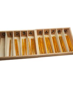 Spindle Boxes
 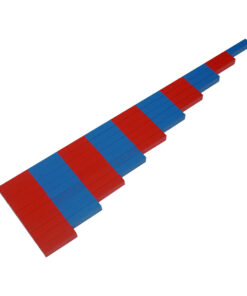 Number Rods
  Geography Land Form Cards With Stands: 6 Pairs
 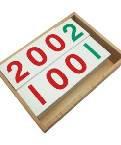 Number Cards 1 To 9000
 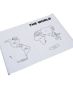 Control Map World Labelled
 Subtotal: ₹47,819.05 (Excl.Tax.)