-
×
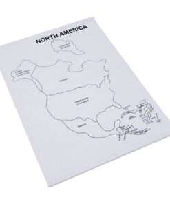
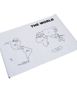
 Control Map World Labelled
1 × ₹400.00
Control Map World Labelled
1 × ₹400.00
 Control Map World Labelled
 Subtotal: ₹400.00 (Excl.Tax.)

₹420.00 (Excl. Tax.. ₹400.00)
In stock
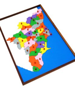
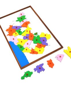
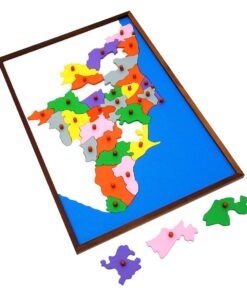
A printed map of the state of Karnataka in India with all its districts depicted on it. Used for control of error when used along with the Karnataka puzzle map
| Weight | 0.25 kg |
|---|---|
| Dimensions | 58 × 40 × 1 cm |