-
×
 Oil Cloth
1 × ₹228.57
Oil Cloth
1 × ₹228.57 -
×
Spindle Boxes
1 × ₹2,828.57
-
×
Seguin Boards Ten (10 To 99)
1 × ₹2,676.19
-
×
Terminology Cards: Parts Of A Flower
1 × ₹1,019.05
-
×
Learning The Three Elements With Pic / Name Slips
1 × ₹1,247.62
-
×
Number Rods
1 × ₹7,047.62
-
×
Infant Imbucare Box With Rectangular Prism
1 × ₹761.90
-
×
Number Cards 1 To 1000
1 × ₹1,666.67
-
×
3d Object Fitting Exercise With Tray
1 × ₹1,104.76
-
×
Felt Material: Th, H, T, U
1 × ₹409.52
-
×
Introduction To Decimal System Beads
1 × ₹2,504.76
-
×
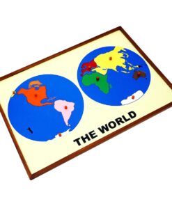
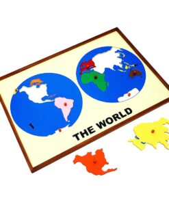
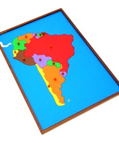
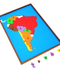
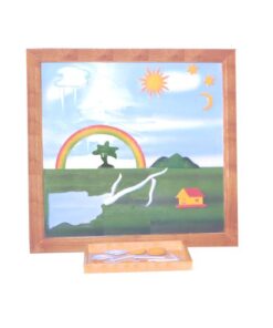
Control Map - South America Labelled
1 × ₹400.00
 Oil Cloth
 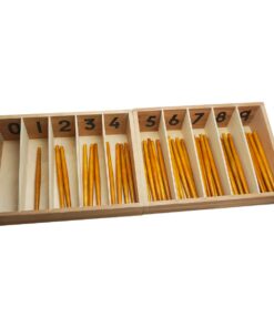 Spindle Boxes
  Seguin Boards Ten (10 To 99)
 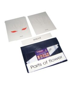 Terminology Cards: Parts Of A Flower
 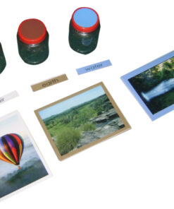 Learning The Three Elements With Pic / Name Slips
 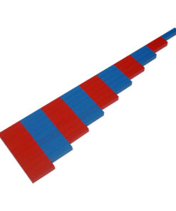 Number Rods
  Infant Imbucare Box With Rectangular Prism
 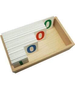 Number Cards 1 To 1000
 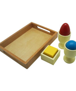 3d Object Fitting Exercise With Tray
  Felt Material: Th, H, T, U
  Introduction To Decimal System Beads
  Control Map - South America Labelled
 Subtotal: ₹21,895.24 (Excl.Tax.)