-
×
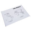
 Botany Cabinet Nomenclature Control Chart
1 × ₹361.90
Botany Cabinet Nomenclature Control Chart
1 × ₹361.90 -
×
Inclined Plane Big
1 × ₹1,314.29
-
×
Infant Imbucare Box With Sphere
1 × ₹761.90
-
×
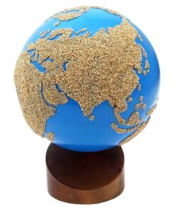
Geography Land Form Trays: 3d Moulds - 6 Pairs
1 × ₹11,542.86
-
×
Stereognostic Bag: Diff Shape & Sizes
1 × ₹209.52
-
×
Number Rods
1 × ₹7,047.62
-
×
Object Permanence Box With Tray
1 × ₹895.24
-
×
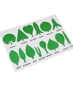
Terminology Cards: Parts Of A Flower
1 × ₹1,019.05
-
×
Geography Land Form Cards With Stands: 6 Pairs
1 × ₹3,638.10
-
×
Thermic Tablets-big
1 × ₹3,114.29
-
×
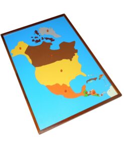
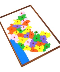
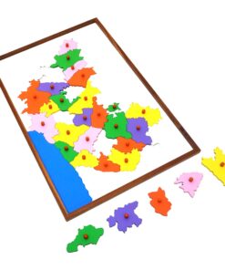
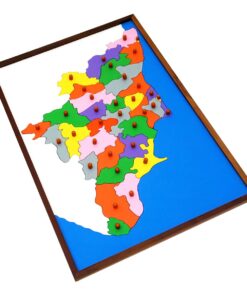
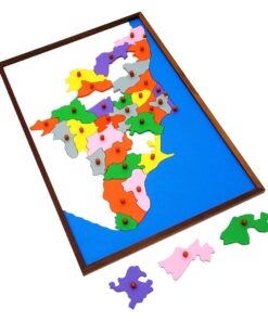
Control Map - Karnataka Labelled
1 × ₹400.00
 Botany Cabinet Nomenclature Control Chart
 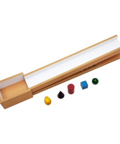 Inclined Plane Big
  Infant Imbucare Box With Sphere
 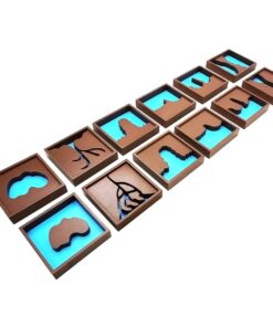 Geography Land Form Trays: 3d Moulds - 6 Pairs
 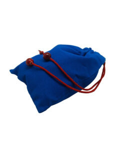 Stereognostic Bag: Diff Shape & Sizes
 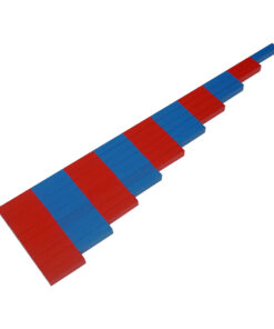 Number Rods
  Object Permanence Box With Tray
 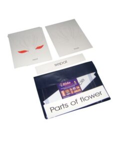 Terminology Cards: Parts Of A Flower
  Geography Land Form Cards With Stands: 6 Pairs
 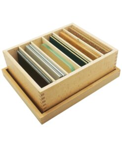 Thermic Tablets-big
  Control Map - Karnataka Labelled
 Subtotal: ₹30,304.76 (Excl.Tax.)