-
×
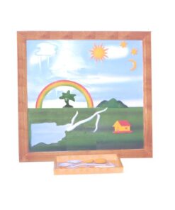
 Fabric Box: 1st Box
1 × ₹990.48
Fabric Box: 1st Box
1 × ₹990.48 -
×
Tertiary Colour Tablets
1 × ₹5,019.05
-
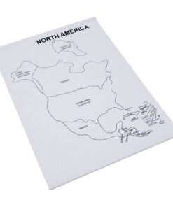
×
Control Map World Labelled
1 × ₹400.00
-
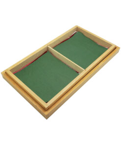
×
Box For Rolling Mats
1 × ₹2,889.83
-
×
Sandpaper Letters Cursive
1 × ₹2,790.48
-
×
Boy Puzzle
1 × ₹409.52
-
×
Terminology Cards: Parts Of A Flower
1 × ₹1,019.05
-
×
Control Map - South America Labelled
1 × ₹400.00
 Fabric Box: 1st Box
 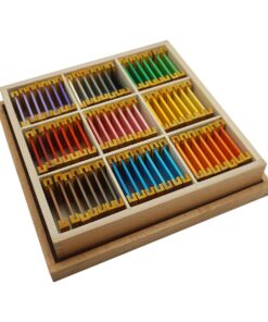 Tertiary Colour Tablets
 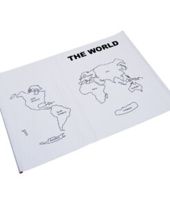 Control Map World Labelled
 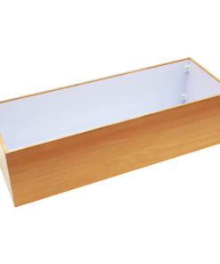 Box For Rolling Mats
  Sandpaper Letters Cursive
  Boy Puzzle
 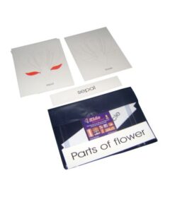 Terminology Cards: Parts Of A Flower
  Control Map - South America Labelled
 Subtotal: ₹13,918.40 (Excl.Tax.)